NOTE: If you want to see an enlarged picture – Right click the picture and open it in a new tab. It will open in a new tab almost full screen sized.
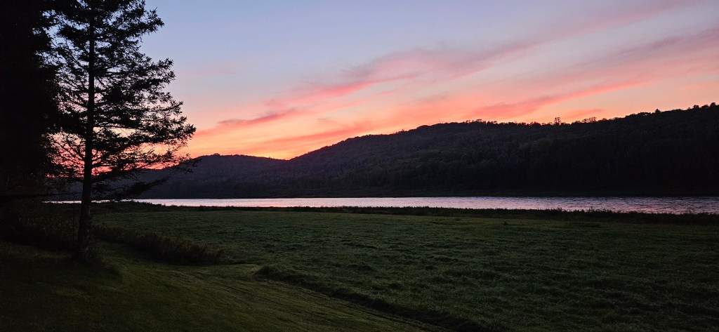
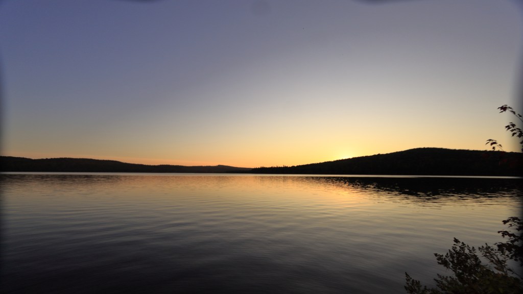
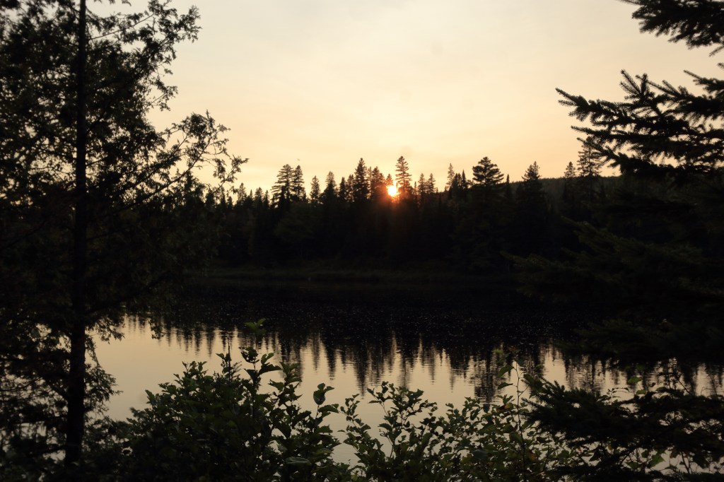
This trip took place in Sept of 23 and I just now (Feb 25) realized I never posted my pictures. So here they are and a synopsis of this 5 day, 50+ mile solo trip. I remember how nice a week it was, cool and sunny all week, couldn’t have asked for any better weather.
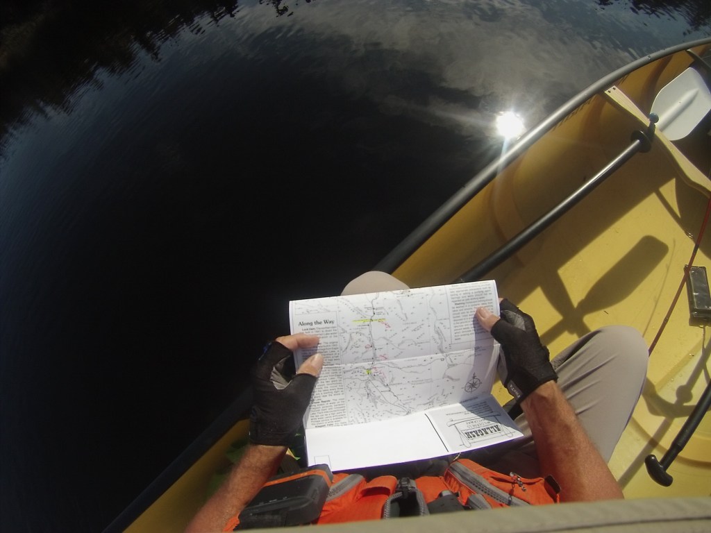
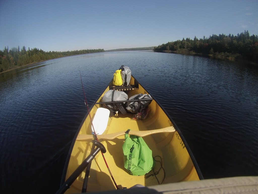
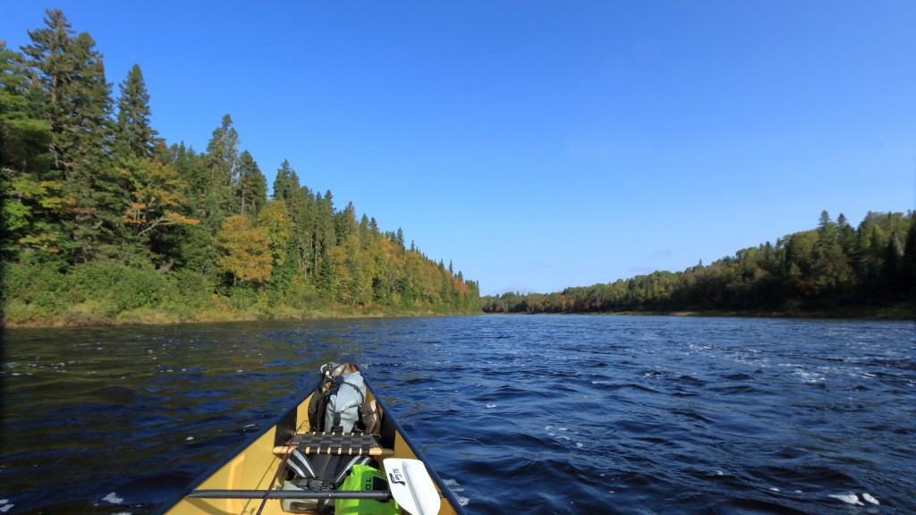
The Allagash River is in Maine and is one of the few rivers that flows north in America. It is also the last leg of the NFCT (Northern Forrest Canoe Trail), which a goal of mine is to complete the entire trail; even if only by sections. The trail is 740 miles long, starting in Old Forge New York and ending in Fort Kent Maine. This trip starts on map 13 of the trail maps (the last of the maps) and ends 27 miles shy of Fort Kent.
First I needed to get there from my home in Virginia. I have a in-laws that live in northern New York state, fairly close to Canada. So off I went stopping with them for a night, then off to Maine by way of Canada. The end of my trip is on the Canadian border in Allagash NY. I spent the 1st night of the “trip” at Pelletrier’s camp ground in St Francis.
Day 1
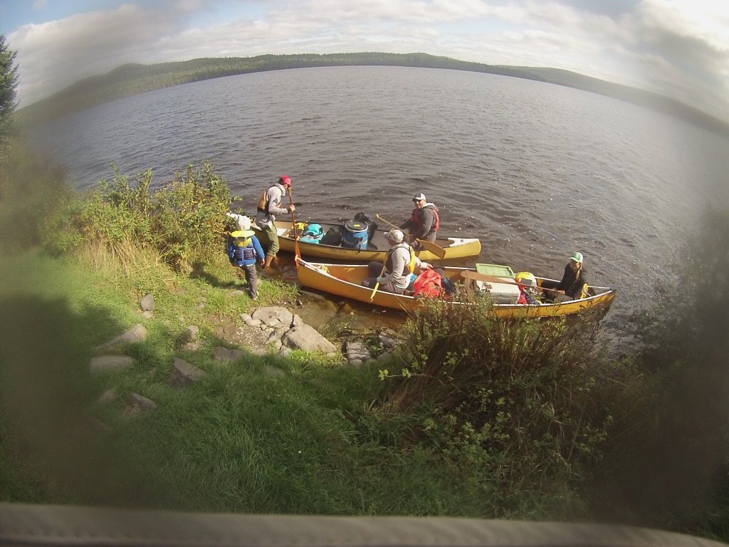
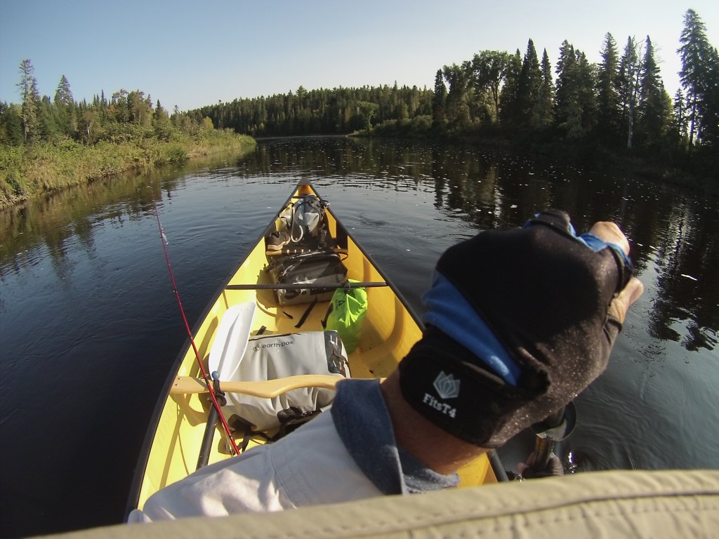
Up at 6am (early for me), to catch a ride to the start of the adventure. This entailed moving the canoe to the taxi vehicle, move my car to the end point of the adventure. Register at the Little Black check point, pay the appropriate fees and then a 5 hour drive to Umsaskis lake. The ride is along logging roads and they aren’t the best roads, so it was not a fast ride. Had a nice conversation with the drier, saw a few moose (the moose season was just starting) and saw a few other vehicles going in to hunt so it was pleasant Sunday ride.
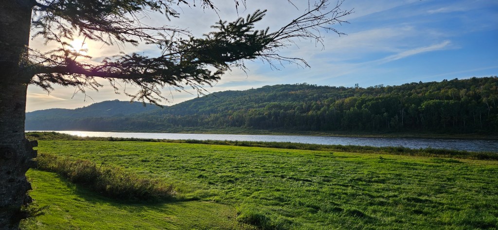
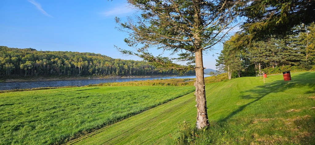
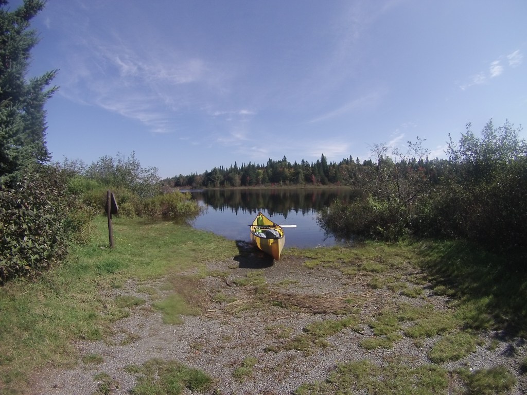
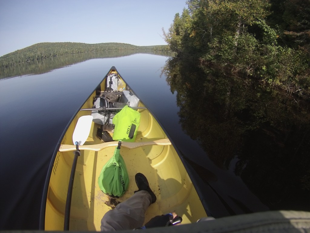
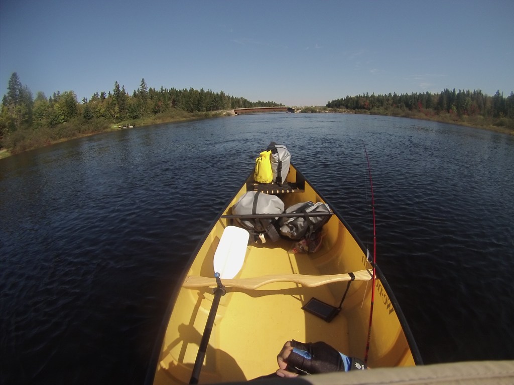
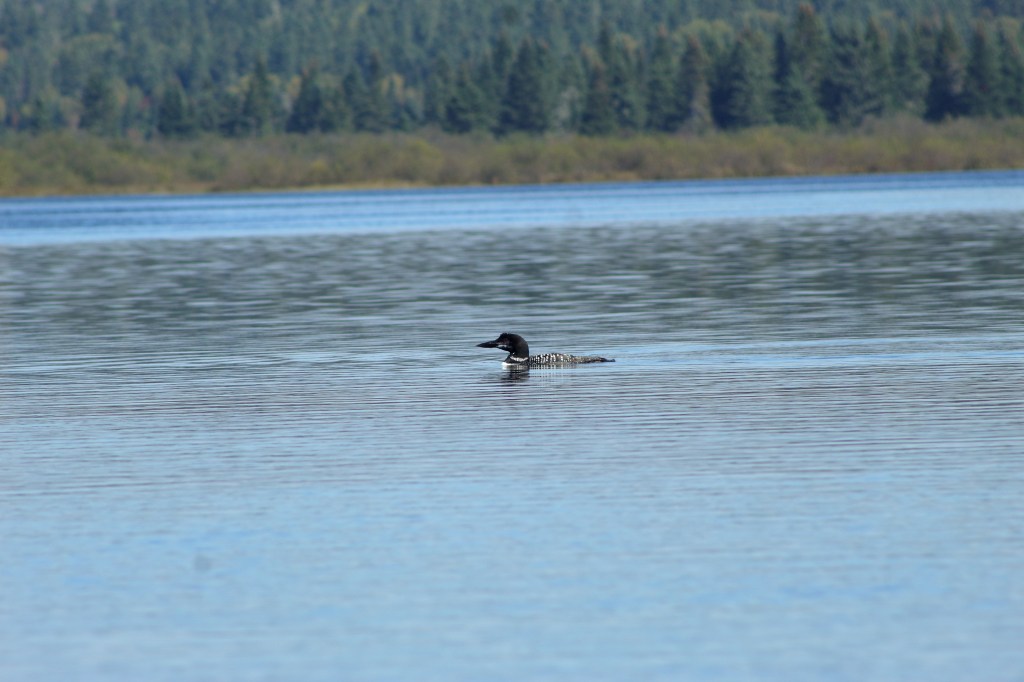
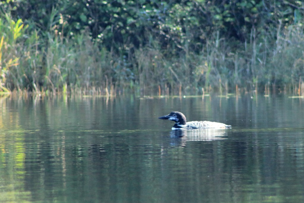
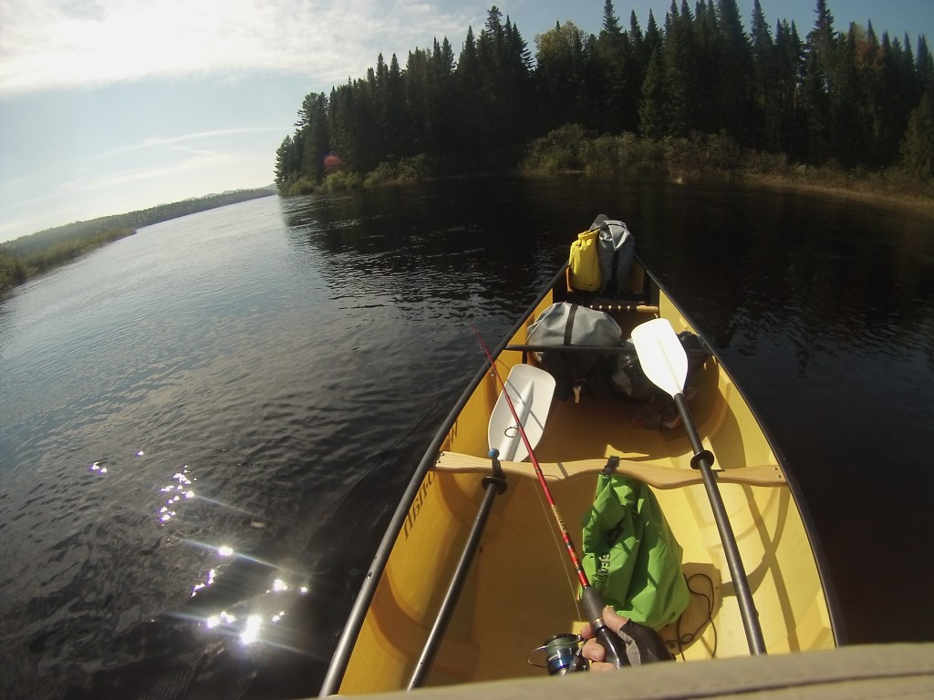
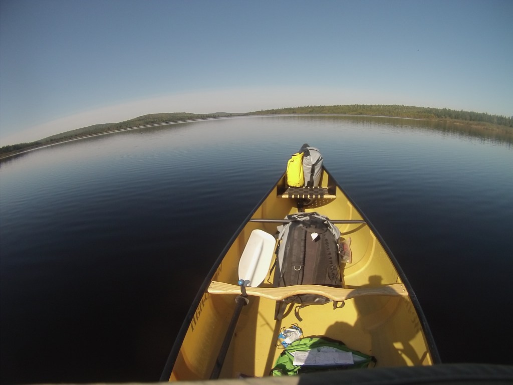
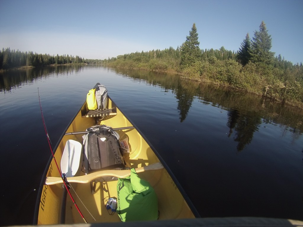
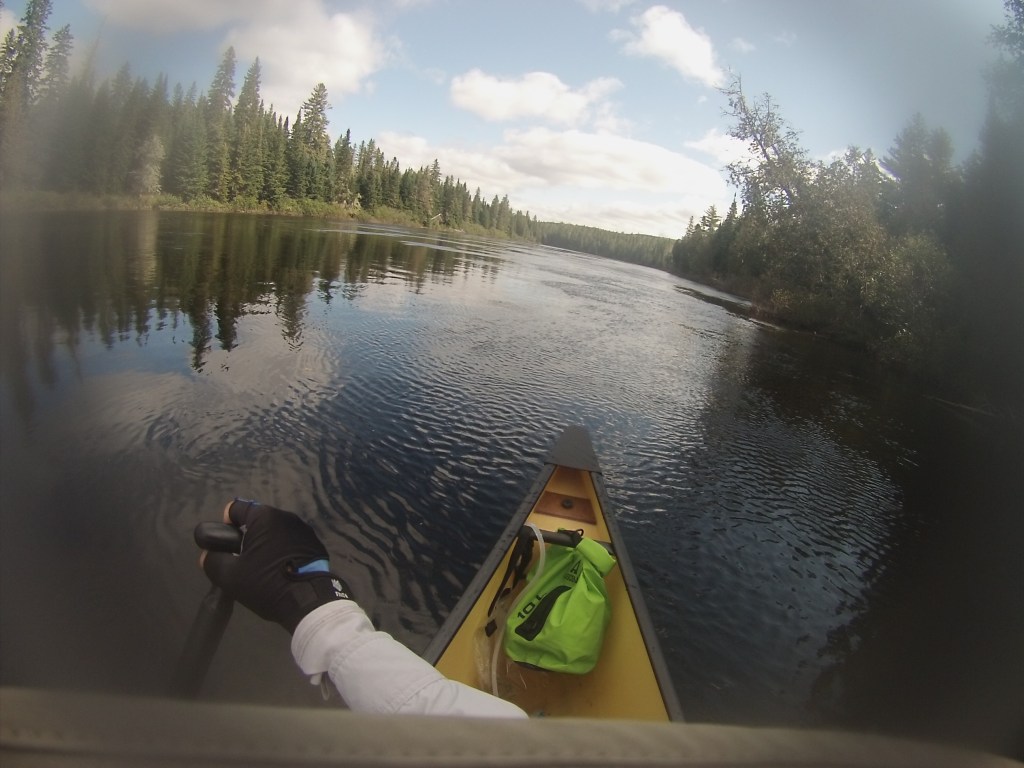
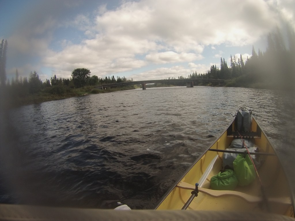
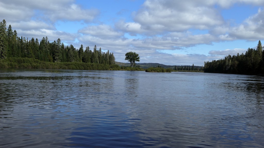
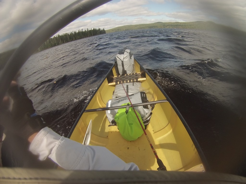
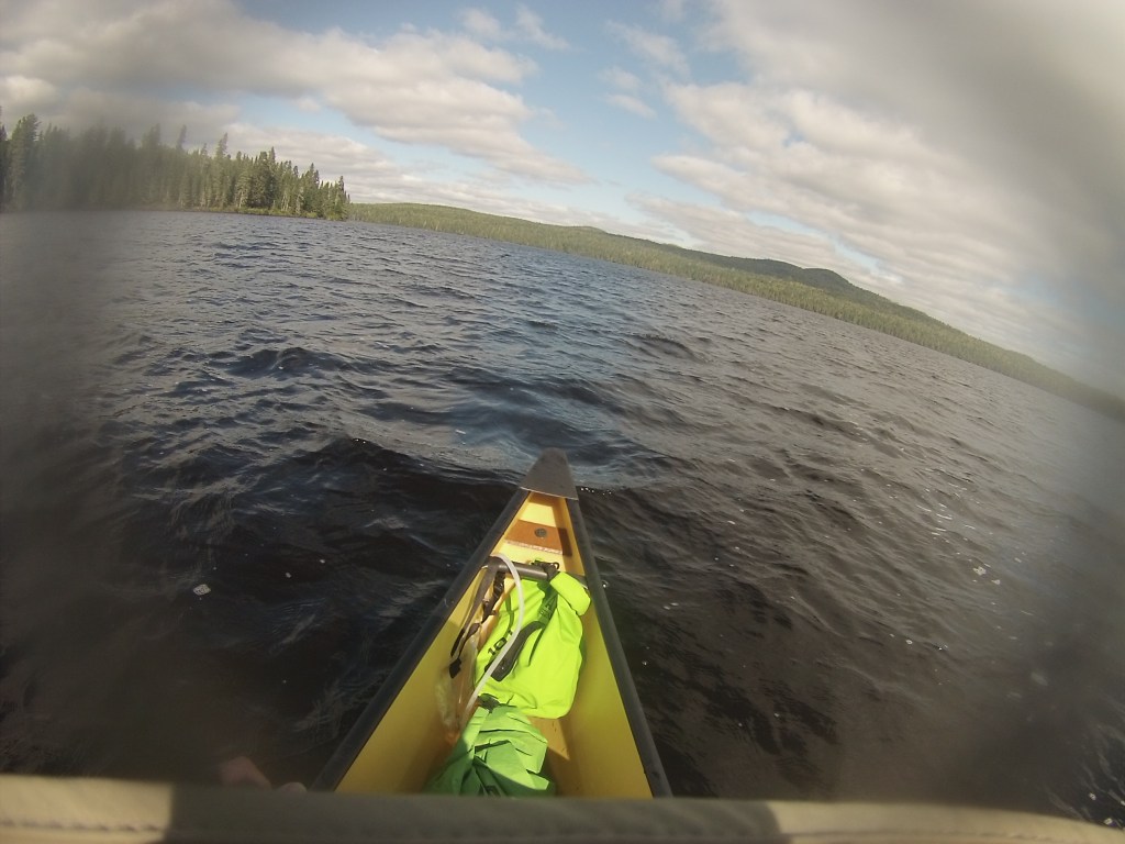
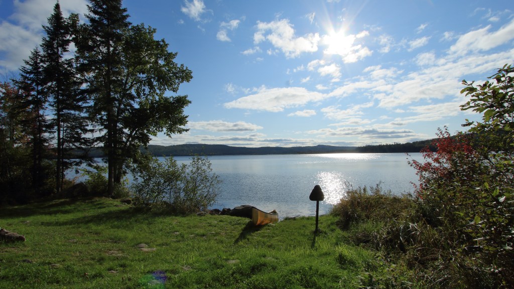
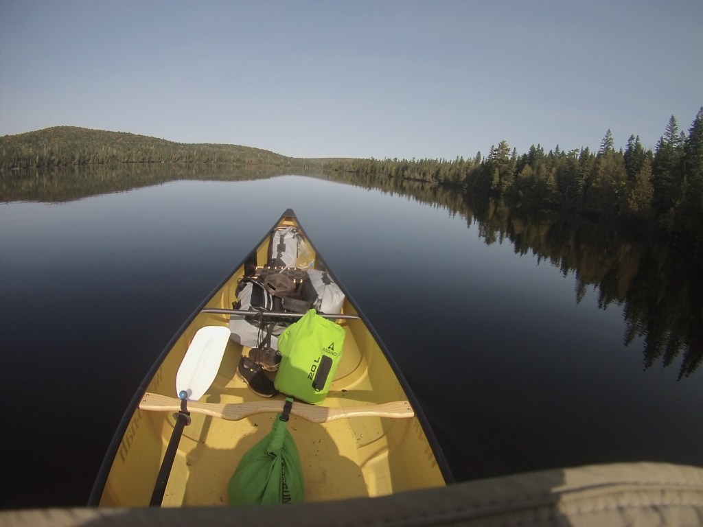
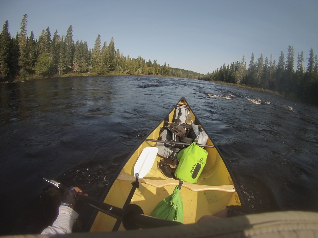
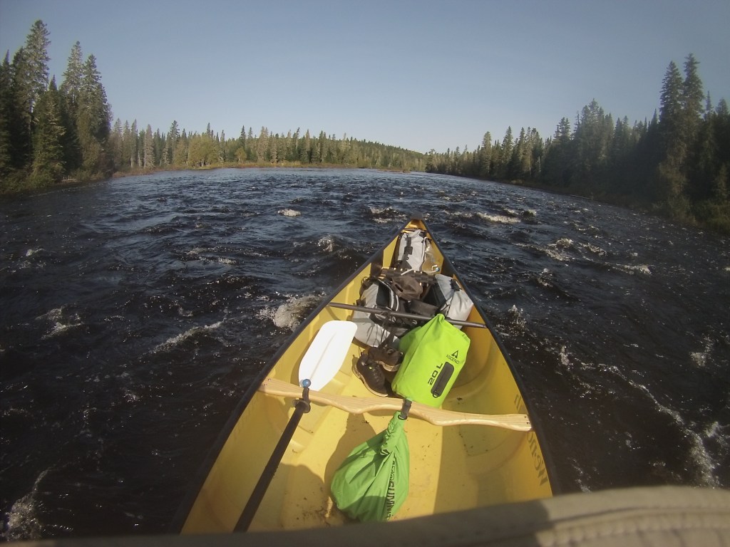
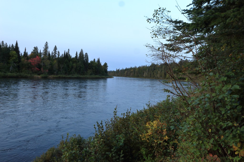
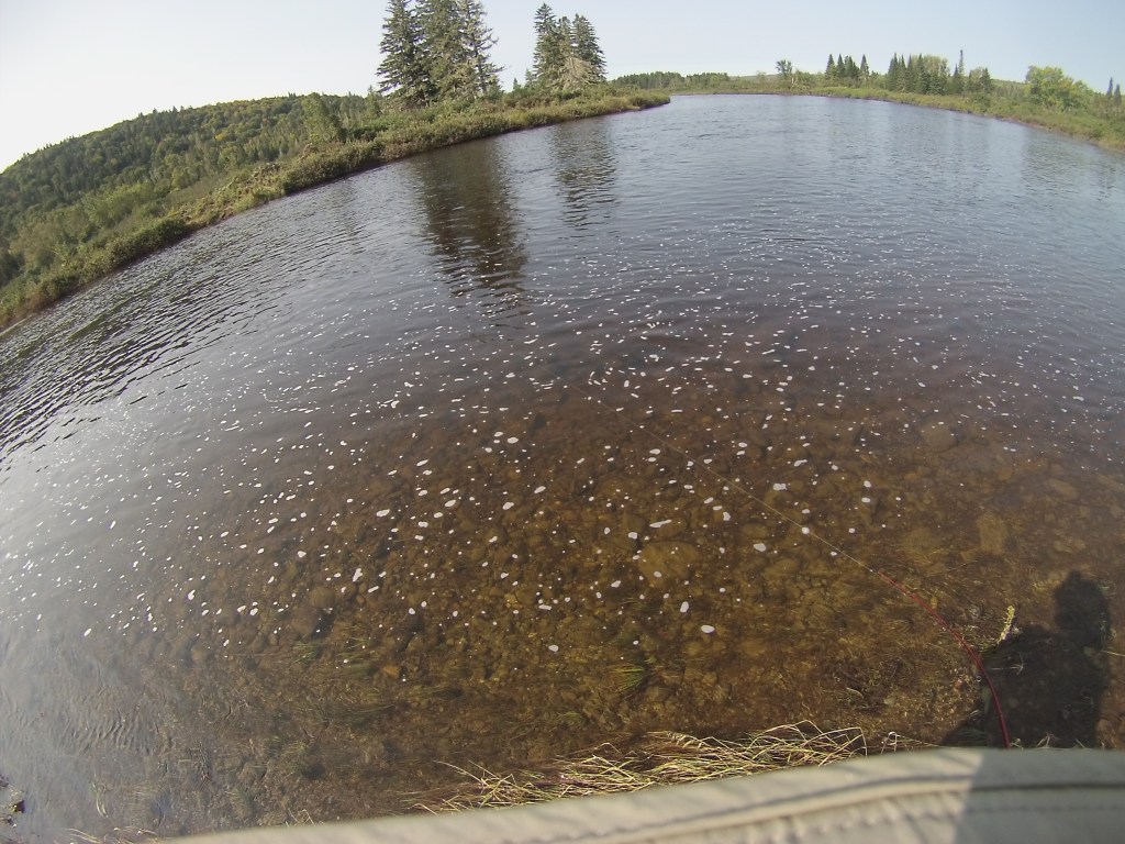
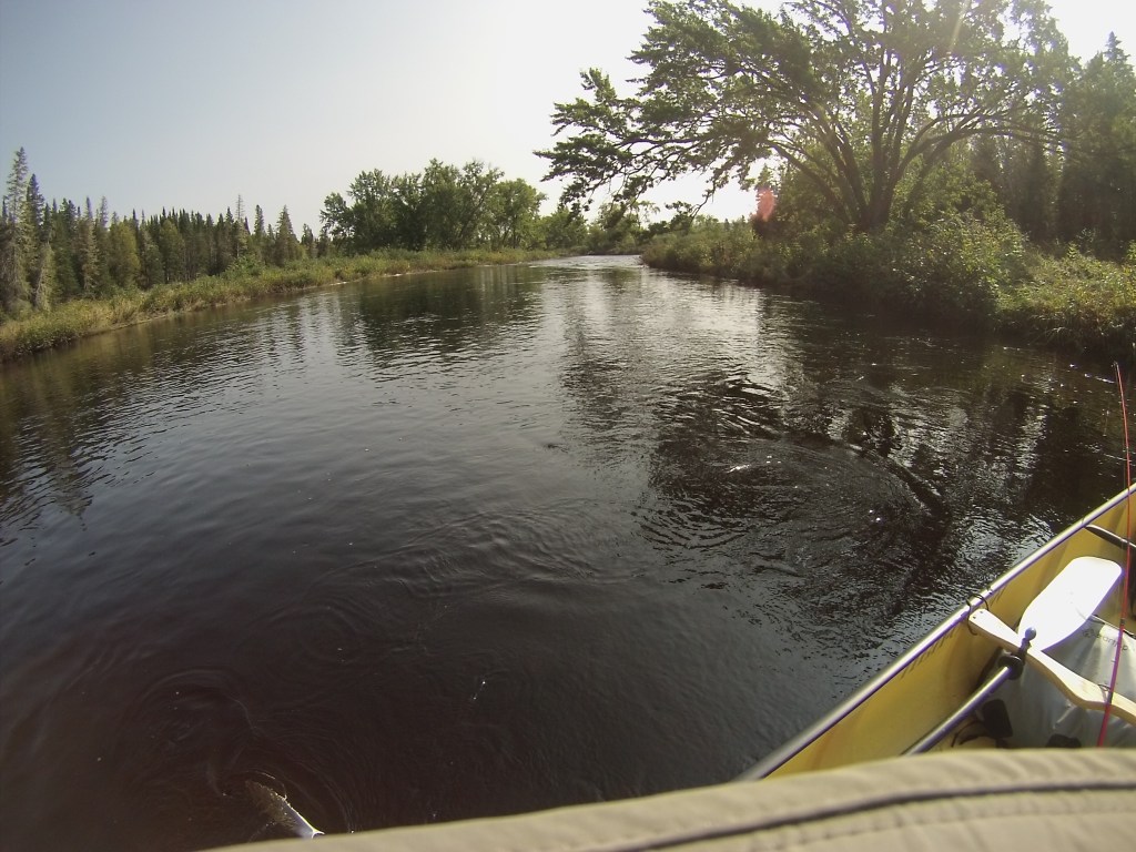
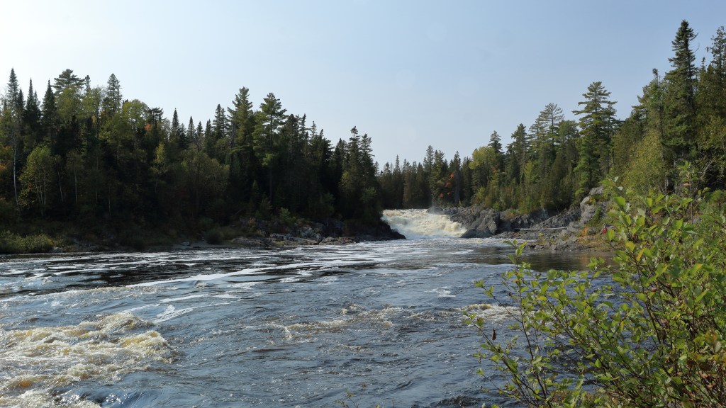
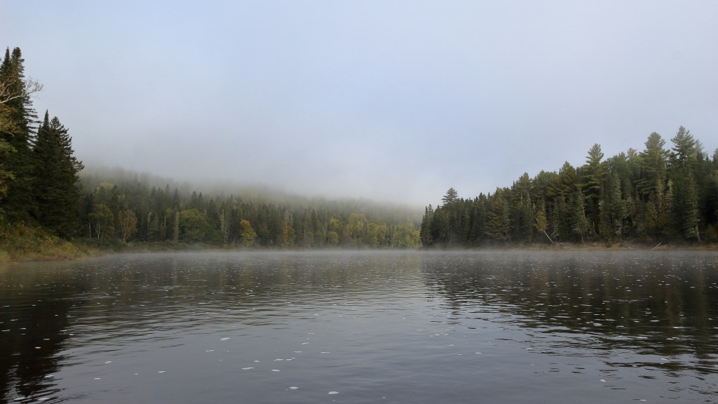
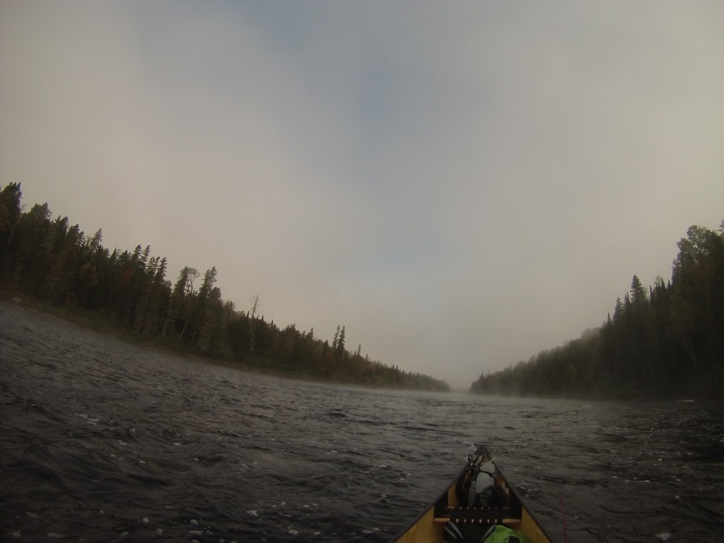
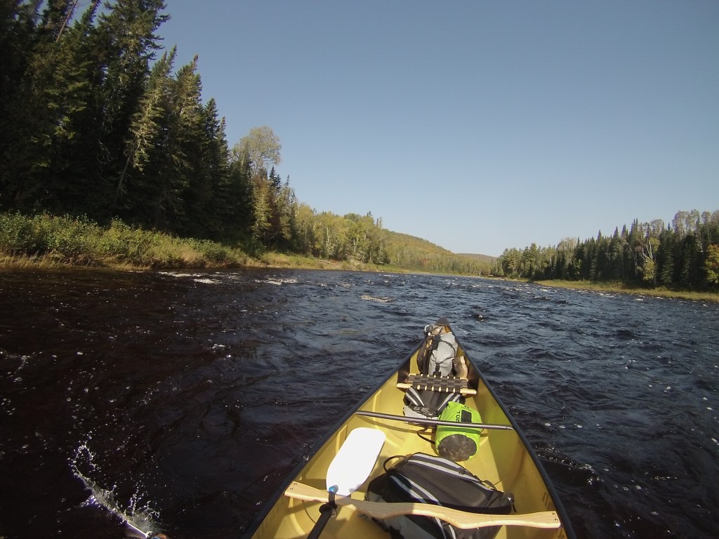
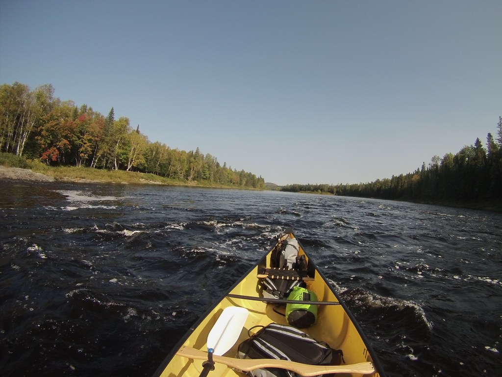
The trip is along the Allagash River from Umsaskis Lake to Allagash NY. As I said earlier, this is one of only a few rivers that flow North in America. The water level was great, just upriver (south of here) there is a dam and they had a release earlier on this first day of my trip. I didn’t notice how the flow may have changed, never being here before. However, I did bottom out at times through the trip, but nothing serious, as long as you read the river correctly you can avoid bottoming out.

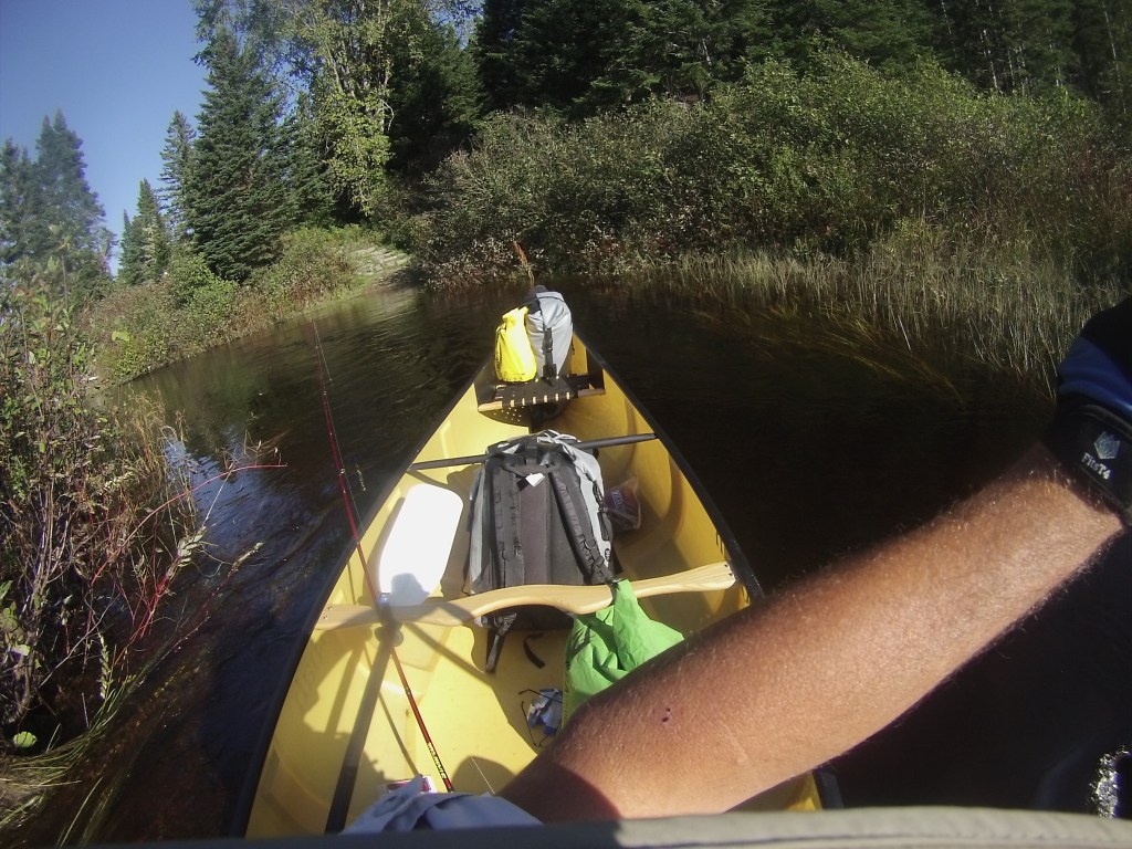

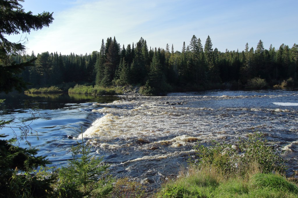
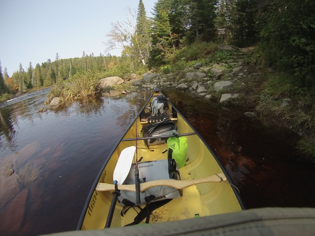
It looks like running this is a possibility, but you are advised not to. Because this being the remains of an old dam, there are spikes underwater that may puncture your canoe. Read everything, do your homework and talk to everyone so you are prepared and informed prior to any trip.
Day 2


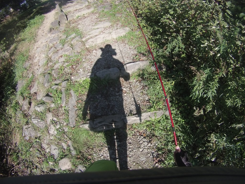
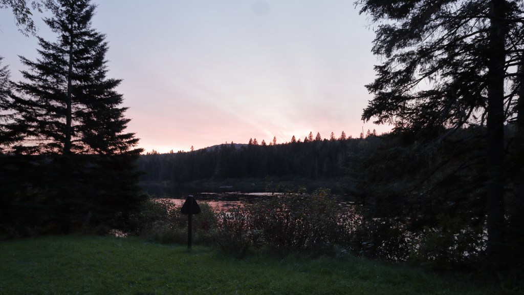
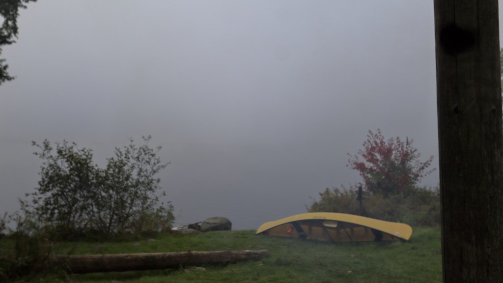
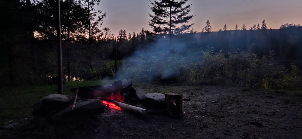
As I stated above this site had water running everywhere. However, I saw that a trail I wanted to hike started here that went to a fire tower. I took off asap after getting there, and walked, but it started to get dark so I turned around. Later I found out, I was within a hundred yards of the tower when I turned around. In defense of that decision; it did get darker than I liked on the way down.

Day 3


Day 4
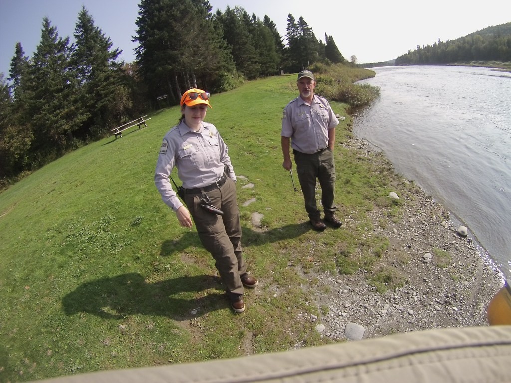
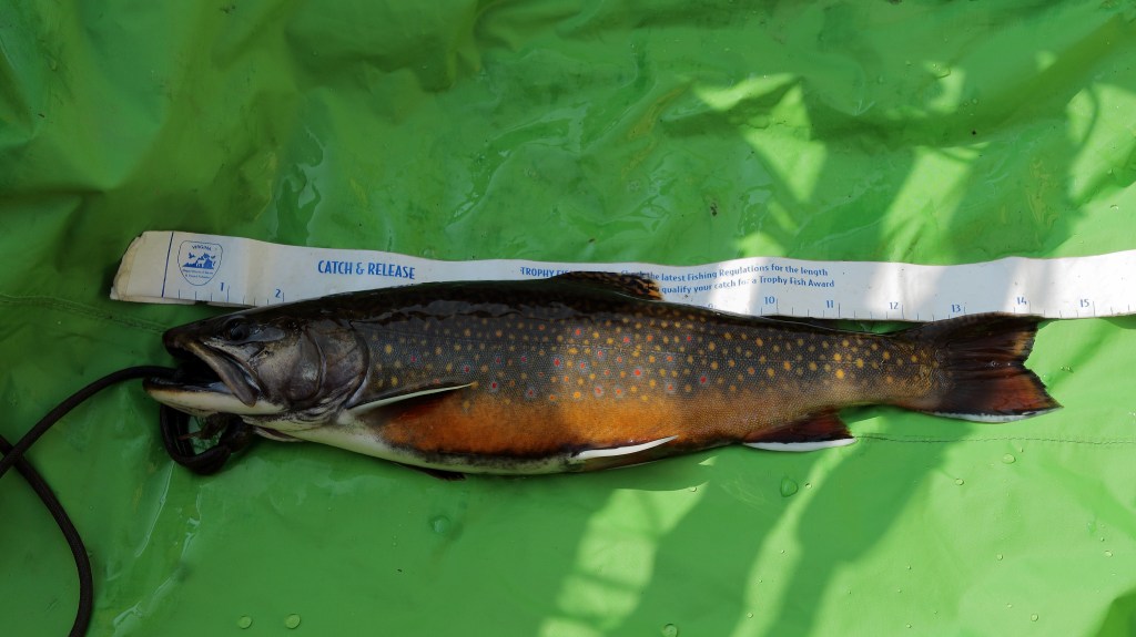
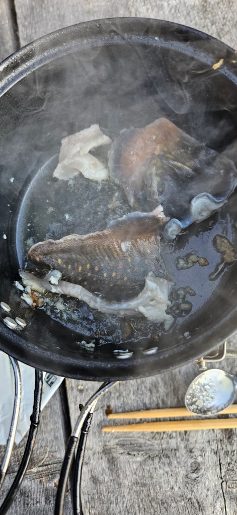
There are a few ranger stations along the Allagash waterway, that they require you check-in at. In this way they have an idea where you are should they need to contact you. We talked for a short while; canoe types, this week’s weather conditions, fishing etc.. This is when I found out how close to the fire tower I was.

Day 5

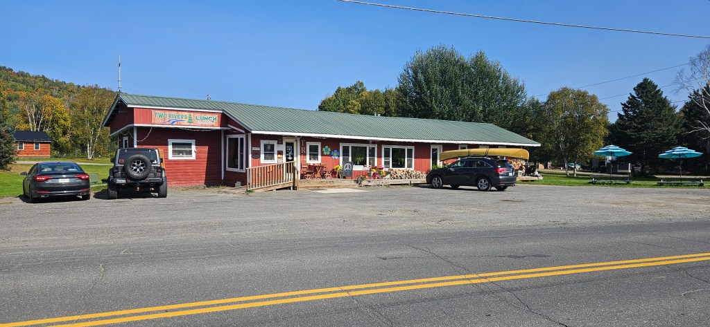
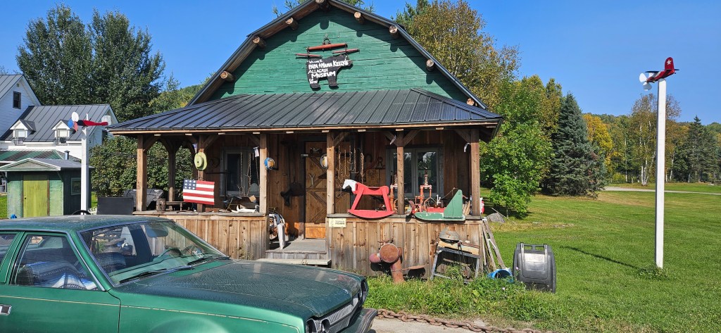
You can get to Two Rivers Lunch and the museum from the river. I knew I was close to my destination so I passed here and drove to it. Unfortunately the museum wasn’t open; lunch was great though.
I drove from the restaurant to Fort Kent to stay the night since it wasn’t a short drive back to my sister-in-law’s. I took a quick look at the park in Fort Kent that ends the NFCT, and didn’t think to get a picture. Oh well. Here is a picture of the start of Route 1 which is just out front of my hotel in Fort Kent.
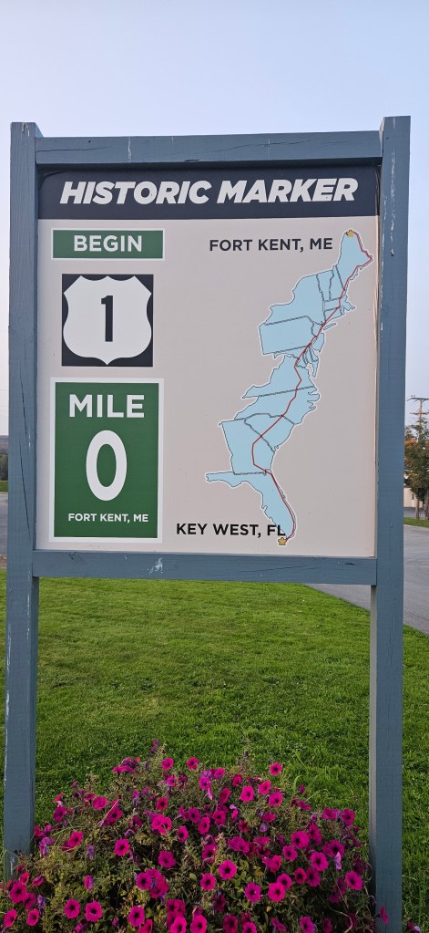
To think that route 1 was once the only way to travel the east coast. I like it better than the current 95 as there is so much to see and places to visit.
So tomorrow it is a drive back to Peru NY and a visit with my family, before returning to Virginia.
Thanks for following my trip. I had many more than these 82 pictures of this trip, but felt I could only bore you but so much. It was great reliving such a pleasant float.
